Ensemble
for
Disaster Risk Reduction

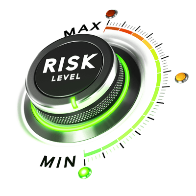
Maximize prevention and minimize risk from climate change and natural disasters
Our comprehensive climate change and disaster risk management solution will assist you in your efforts to maximize prevention and minimize risk from many types of future disasters such as fires, droughts, floods, earthquakes. In the mitigation of effects from these it is never too early to be aware of approaching hazards.
By leveraging multiple sources of data we have developed a Disaster Risk Early Warning Infomation System (DREWIS)


Evidence of Climate Change
Key benefits of using our solution
✓ Day-to-day spatial and temporal monitoring and assessment of the most frequent hazards, such as potential flood or dry spell
✓ Visualization of complex multi-hazard indicators
✓ Awareness of vulnerable areas
✓ An “early” Early Warning capability
✓ Visualization of possible disaster scenarios
✓ Vertical and horizontal institutional communication
✓ Reports generation

SOLUTION FEATURES
Comprehensive Disaster Risk Early Warning Information System (DREWIS) features include:
Historical disaster information
- Linking international and national historical disaster information to be aware of the most frequent ones
Meteorological data
- Monitoring national and international meteorological data, such as temperature, precipitation, and wind
- Spatial and temporal meteorological data visualization
Hydrological data
- Monitoring national and international streamflow/water level data
- Monitoring groundwater data from boreholes and aquifers
- Spatial and temporal hydrological data visualization
Hazard
- Spatial and temporal analysis of the most frequent hazards’ indicators implementing complex on-the-fly mathematical and statistical algorithms
Exposure
- Utilizing powerful GIS capabilities for analysis and visualization of the various elements (housing, agriculture, critical infrastructure, etc.) exposed to potential hazards.
Vulnerability
- Implementing internationally recognized science-based vulnerability indicators
- Taking into consideration various “faces” of vulnerability (infrastructural, environmental, economic, and social)
Risk
- Bringing hazard, exposure, and vulnerability together to calculate potential risk
- Visualizing risk implementing powerful GIS capabilities
Reporting
- Comprehensive and detailed reports generation an all aspects of Disaster Risk Reduction
Share with others