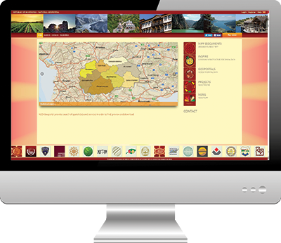
National GeoPortal of the Republic of Macedonia
Created as part of the Real Estate Cadastre and Registration Project to manage the National Spatial Data Infrastructure (NSDI).
“National GeoPortal of the Republic of Macedonia provides the interconnection of all spatial data and services in one system in accordance with INSPIRE.”
National Spatial Data Infrastructure (NSDI)
The National Geoportal of the Republic of Macedonia system provides for the integration of all spatial data from government institutions into a unique National Geoportal. The main goals of the system are to facilitate access, exchange, search, use and distribution of standardized spatial data and services in an efficient and effective manner. The client is AREC (Macedonian Agency for Real Estate Cadaster).
Better service delivery from the Government to the citizen.
Increase in the range of government web based services to citizens.
Increased International co-operation – Macedonia now aims to join the pan-European Spatial Data Infrastructure (SDI) being developed as part of the European Union’s INSPIRE initiative.
Improved and informed decision making.
Benefits for planning, policy implementation and monitoring.
National Geoportal provides up-to-date and relevant information.
Practical improvements included better planning of new housing developments.
Allows comprehensive monitoring of the effects of climate change.
Greater ability to conserve vulnerable resources and optimize land use.

