

An essential tool to help face the challenges presented by climate change
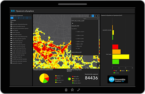
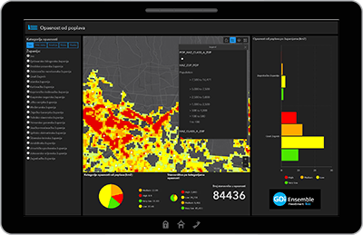
GDi Ensemble FloodSmart is a complete real-time Flood Risk Management and real-time Flood Protection System. It enables the integration of flood hazard and flood prevention activities ahead of and after flood events.
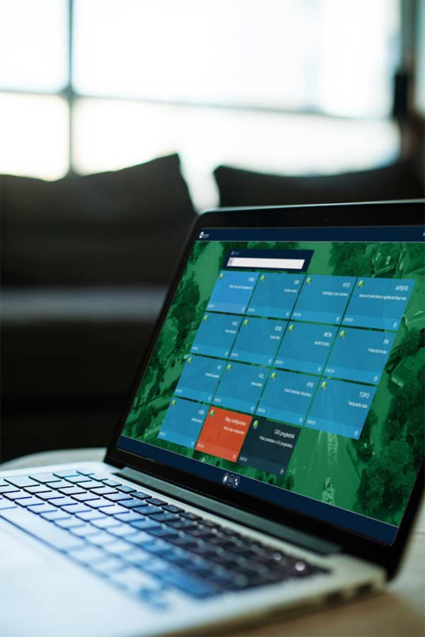
A single web portal consolidates all relevant decision-making information for organizations responsible for the implementation of flood protection and rescue systems. The portal also allows clear, precise and easily understood information to be presented to both executives and public.
The Ensemble FloodSmart system is fully compliant with EU Floods Directive (2007/60 / EC).
A unique world-class solution
GDi Ensemble FloodSmart is a unique world-class solution that integrates and consolidates flood prediction and flood protection activities before and after floods through a single system and therefore is fully ready to take the leading position in the world market.
The project is funded by grants from the European Regional Development Fund.
The total value of the project and the amount co-financed by the EU (in HRK)
Total project value: 9.351.595,57 kn
Grants approved: 4.660.209,82 kn
Project implementation period (from – to)
Total implementation time is 30 months.
Start of the project is 01.10.2017 and ends on 31.3.2020.
Who is it for?
Decision makers
Public
Expert Analysts
Ensemble FloodSmart | At a glance
Who is it for?
Decision makers
Public
Expert Analysts
Ensemble FloodSmart | At a glance
Key Features
Allows automatic recognition of flood parameters, which significantly improves the quality and timeliness of the system output information.
Available and accessible on any device for the needs of a large number of users in the event of a flood. Simplifies decision making.
Gives high-performance for data processing and modelling during flooding. Ensures 24/7 availability with high reliability.
Uses standard database. Sensor and web server data are automatically entered into the database.
Web GIS System
Easily view the results of collected data in any web browser.
Results of forecasts are published as web services, consumed in a wide range of web applications for a wide variety of end users.
Web application options are defined by the kinds of services being released, and the capabilities of the client application.
Obtain water flow at a specific location or through a certain area.
Determine water depth in place and/or drift depth.
Esri ArcGIS Online platforms used
 Operations Dashboard
 Survey 123 for ArcGIS
 Workforce for ArcGIS
 SceneViewer
 ArcGIS Enterprise
 StoryMaps for ArcGIS
 Collector for ArcGIS
Key Features
Allows automatic recognition of flood parameters, which significantly improves the quality and timeliness of the system output information.
Available and accessible on any device for the needs of a large number of users in the event of a flood. Simplifies decision making.
Gives high-performance for data processing and modelling during flooding. Ensures 24/7 availability with high reliability.
Uses standard database. Sensor and web server data are automatically entered into the database.
Web GIS System
Easily view the results of collected data in any web browser.
Results of forecasts are published as web services, consumed in a wide range of web applications for a wide variety of end users.
Web application options are defined by the kinds of services being released, and the capabilities of the client application.
Obtain water flow at a specific location or through a certain area.
Determine water depth in place and/or drift depth.
Esri ArcGIS Online platforms used
 Operations Dashboard
 Survey 123 for ArcGIS
 Workforce for ArcGIS
 SceneViewer
 ArcGIS Enterprise
 StoryMaps for ArcGIS
 Collector for ArcGIS
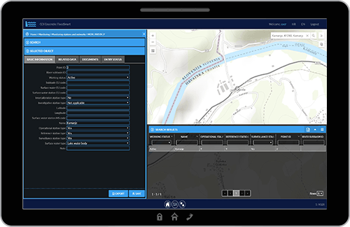
Data Management System
Application for interactive data maintenance.
| ✓ | Centralized standard database |
| ✓ | Manual data entry |
| ✓ | Automatic data retrieval and database entry from: |
| – External sensors. | |
| – Web services. | |
| – Other online sources. |
| ✓ | Centralized standard database |
| ✓ | Manual data entry |
| ✓ | Automatic data retrieval and database entry from: |
| – External sensors. | |
| – Web services. | |
| – Other online sources. |
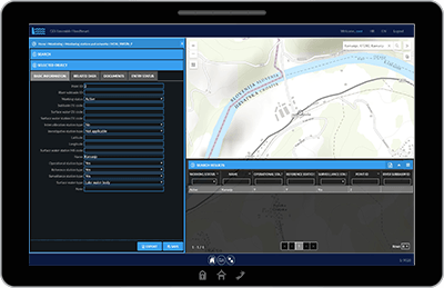
The Imperative – Climate Change
Data Collection System
Collects data from multiple sources for accurate flood risk management and flood protection.
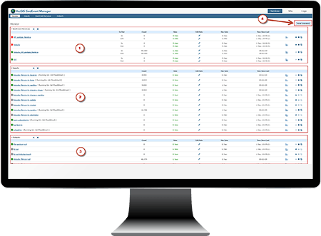
Esri GeoEvent Server
Automated data acquisition from measuring stations/sensors, and their placement in tables of the central database. Data is accepted for the following devices and their sensors:
- Water meter sensors on watercourses – level (m n.m.), flow (m3 / s), etc.
- Sensors in wells – ground water level level (m n.m).
- Meteorological sensors – precipitation (mm), temperature (oC), humidity (%), etc.
- Weather radar systems – radar images – cloud motion, precipitation intensity, web service – raster (GRID)
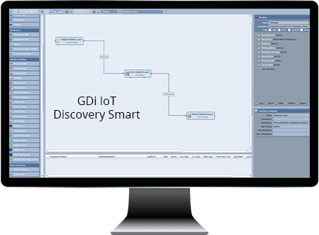
GDi IoT DiscoverySmart Tool
- Search for content by keywords – e.g. flood, water penetration, water level, embankment, etc.
- Download and integrate external data – service providers’ web services such as weather conditions, water levels, precipitation, other relevant data).
- Communicate and download data from social networks – Twitter, Instagram, Facebook, etc.
- Spatial location of published data – includes associated media (pictures, messages, video.).
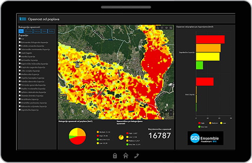
Flood Risk Modelling
The flood hazard and risk modelling system.
Module for spatial modelling and analysis. Consists of a web GIS application with spatial data modelling tools within flood areas. Tools include those for hazard and flood risk assessment, and analytics.
- Provides results in the form of spatial representation, based on current or anticipated dangers and flood risks.
- Tools provide clear messaging, contributing to prompt and timely decision-making in planning and organization of defence and rescue.
- Information on resources, techniques, and available time for implementation of flood defence measures displayed.
- Starting parameters stored and used in analysis of current state and/or simulation of event predication.
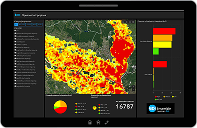
Emergency Management System
Typical features/system requirements
| ✓ | Overview of possible consequences |
| ✓ | Damage Estimates |
| ✓ | Informing the public |
| ✓ | Situation reports |
| ✓ | Permit issuing bodies |
| ✓ | Status display – graphical representation |
| ✓ | Alarms system for designated personnel |
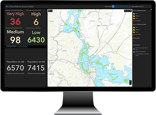
| ✓ | Overview of possible consequences |
| ✓ | Damage Estimates |
| ✓ | Informing the public |
| ✓ | Situation reports |
| ✓ | Permit issuing bodies |
| ✓ | Status display – graphical representation |
| ✓ | Alarms system for designated personnel |
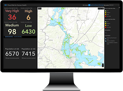
Deployment Options


Get Social